Great Salt Lake Resources
What is UUNET?
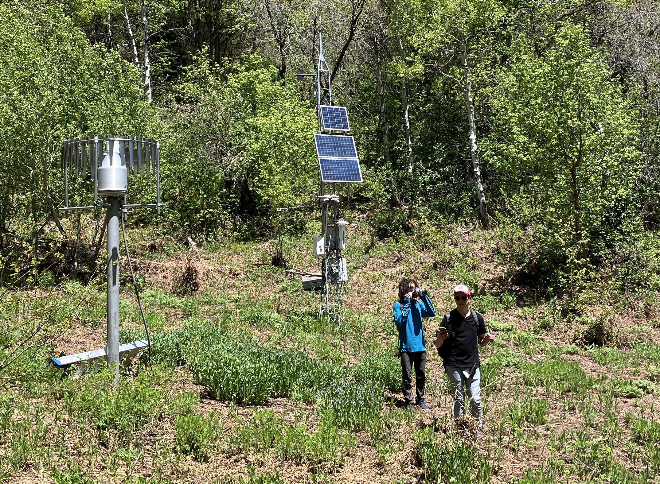
The University of Utah MesoWest Mesonet (UUNET) network is a collection of fixed-site surface weather stations and remote sensors that MesoWest has direct communications access to.
As part of MesoWest data collection/ingest services, our group operates a 24/7/365 data collection and ingest system for weather stations that use Campbell Scientific data loggers and real-time communications. If the pathway to the data logger is internet-accessible (either directly or via a communication device such as a radio or cellular modem), then MesoWest can provide the ability to directly connect to the logger, collect the most recent observations, and efficiently process them into the MesoWest system with minimal data latency as a part of the UUNET network. MesoWest can also provide additional aspects of remote station maintenance (e.g., low battery voltage alerts, logger program management, clock syncing, etc.) for stations within the UUNET framework.
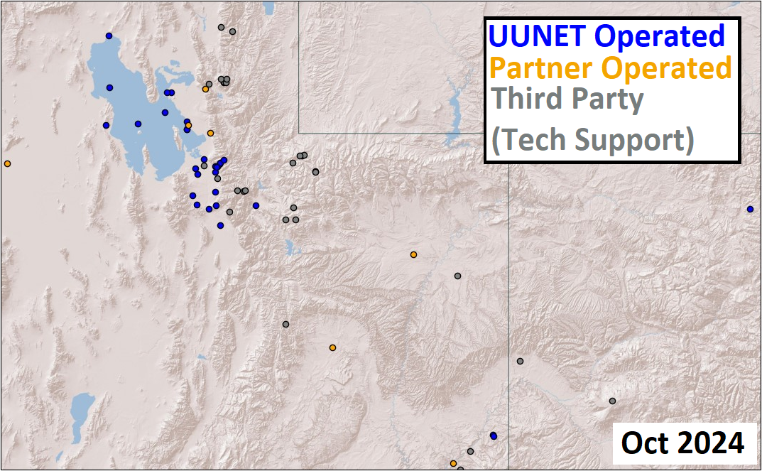
The ability to access data loggers across the internet through our system allows UUNET to extend beyond just the greater Salt Lake region, though the majority of the UUNET stations are located in Northern Utah. Currently UUNET encompasses a little over 70 unique weather stations across data collection and directly maintained stations. Since numerous entities provide access to their data loggers, UUNET can be further broken down into several categories:
Category I
Stations maintained by the MesoWest Research Group
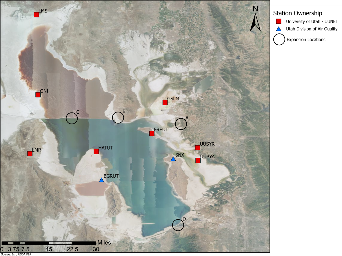
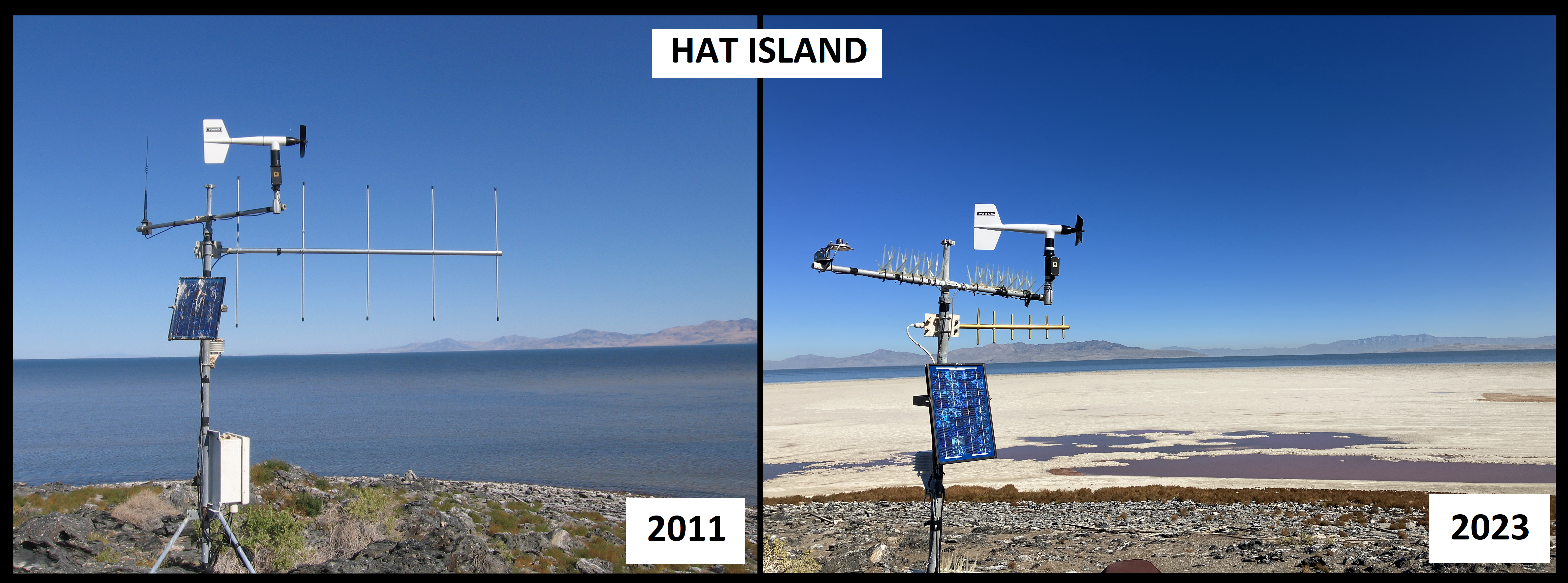 The group actively visits and maintains a little over 20 fixed-site surface weather stations across the Salt Lake Valley, Great Salt Lake, and nearby regions. Support staff monitor these sites, make notes about communication and instrument performance, and replace equipment as necessary on annual (or more frequent if necessary) visits.
| NAME | STID | Start (Year) Of Observations or *Start Data Collection |
|---|---|---|
| U of U William Browning Building | WBB | 1997 |
| Gunnison Island | GNI | 1998 |
| Hat Island | HATUT | 1998 |
| Locomotive Springs | LMS | 1999 |
| Lakeside Mountain | LMR | 1999 |
| Trans-Jordan Landfill | TRJO | 2002 |
| SunCrest | SUNUT | 2005 |
| Flight Park South | FPS | 2010 |
| Natural History Museum Utah | NHMU | 2011 |
| U of U Mountain Met Lab | MTMET | 2012 |
| Herriman | HERUT | 2013 |
| Great Salt Lake Minerals | GSLM | 2013 |
| Neil Armstrong Academy | NAA | 2014 |
| Fremont Island - Miller Hill | FREUT | 2015 |
| Syracuse | UUSYR | 2017 |
| The Waterford School | WTRFD | 2017 |
| American Fork Marina | AMFKM | 2018 |
| UofU Portable Trailer System | UUPT1 | 2022 |
| UofU Playa Research Site | UUPYA | 2022 |
| Charleston River Site | PRCUT | 2022* |
| Above Red Butte Basin | UABRB | 2022* |
| Todd's Meadow | UATTM | 2022* |
| Knowlton's Fork | UATKF | 2022* |
| Dolores River | RMC01 | 2022* |
| Line Canyon | RMC02 | 2022* |
| Yellowstone | UUYNB | 2023 |
| Compass Minerals FLUX Research Site | UUCMF | 2024 |
| UofU Playa FLUX Research Site | UUPYF | 2024 |
Category II
Remote Sensors maintained by the MesoWest Research Group
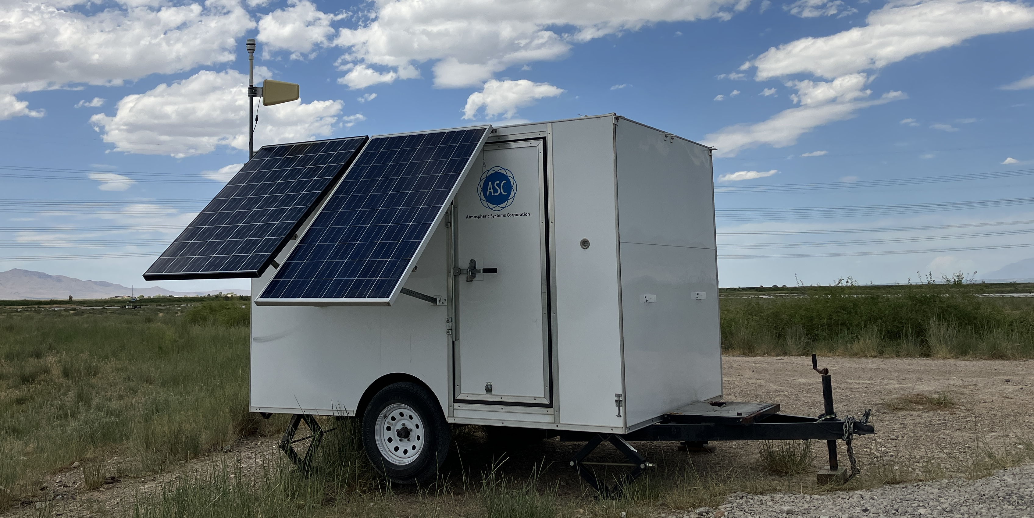
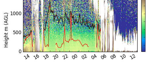
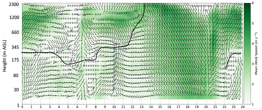
In addition to the fixed-site surface weather stations, the MesoWest group also deploys and maintains several remote sensors such as sodars and ceilometers. MesoWest operates ASC MiniSodar units that are deployed for both continuous monitoring as well as specific field projects. MesoWest also maintains several ceilometers deployed on the University of Utah campus and for specific field campaigns. Real-time visualizations for the ceilometers and sodars are accessible via several web-based products.
SODAR Tools
Ceilometer Tools
Radar Tools
Category III (Wasatch+GSL Radio Network)
Category IV (Red Butte Radio Network)
Freewave Radio Networks
MesoWest and UUNET maintains communications with several additional weather stations located along the Wasatch Front. This includes a Great Salt Lake - Radio Network and multiple stations in the Red Butte Canyon Natural Research Area
Category V (Third Party, Partner Stations)
External Stations, Local Collection
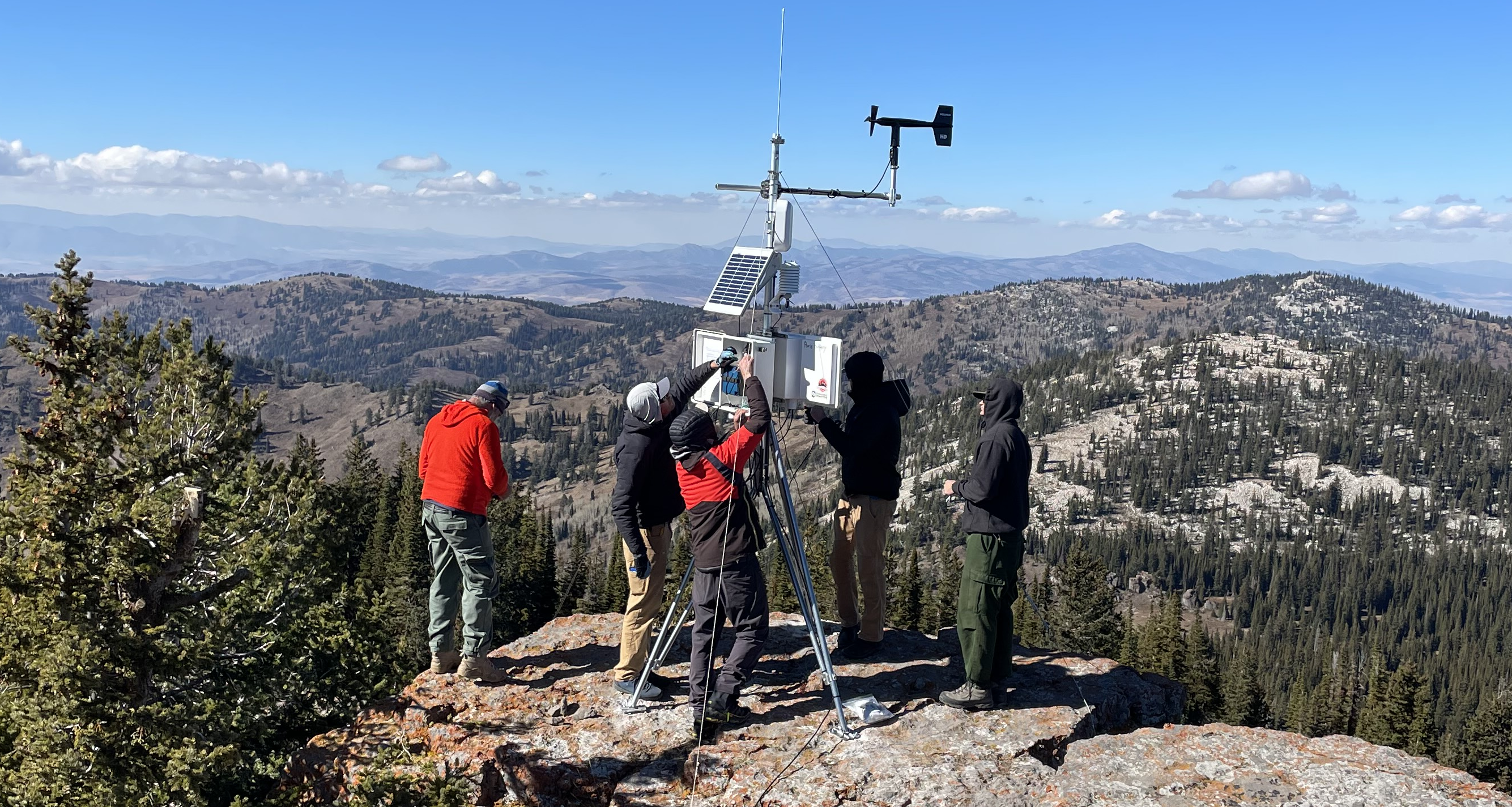 Finally, MesoWest has also assisted several other entities in helping to get their weather stations online and accessible to the general public and other entities. In many cases these are singular (or a small network of) stations where the ability to have real-time access/monitoring of the data is useful or necessary, which MesoWest can provide. This subset includes stations from other universities, ski resorts, avalanche centers, schools, and other organizations.
Category VI (MEOP)
Mobile Environmental Observation Platform
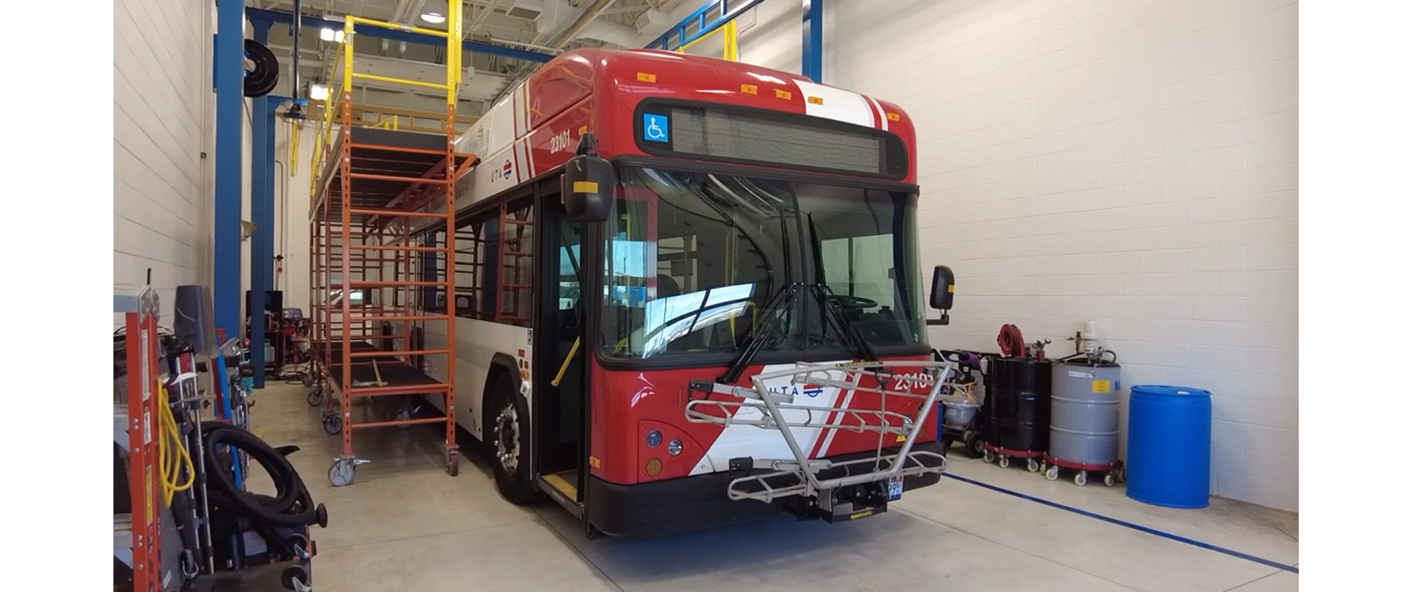 The UUNET infrastructure and data system includes stationary and mobile air quality sensors deployed on Utah Transit Authority (UTA) light rail trains and electric bus sytems.
As of October 2024, this includes three light rail trains (TRAX), and 15 Battery Electric Buses (BEBs).
